Select a point on the map to learn more about it

Area BB

Area BB, located on the northern part of the lower hill, was opened due to its proximity to the Late Iron Age (7th century BCE) houses uncovered during salvage excavations in the 1990s, which are identified as belonging to the deportee community. Our excavations revealed another Late Iron Age house underneath a Late Roman-period agricultural terrace superimposed by an Ottoman-period olive grove. Key finds include a Late Bronze Age scarab and a complete storage jar dating to the 7th century BCE. Read more…
Area CC

Area CC, located on the lower hill, was excavated due to a large Byzantine-period (4th–6th CE) rock-cut wine press. The complex includes a central treading floor with a screw base, a settling basin, and a collecting vat connected by channels. Its extent is larger than previously thought. Alongside the regular excavations, the area also hosted a community excavation and is planned for conservation to showcase the Byzantine wine production. Read more…
Area AAU

Area AAU, located on the northern part of the lower hill, was opened due to its proximity to the Late Iron Age (seventh century BCE) domestic units uncovered during the salvage excavations of the 1990s, which have been identified as belonging to a deportee community. The parallel area is Area BB, situated to the north of these units. Our excavations in Area AAU revealed a large rock-cut trench, which in its final phase was used as a refuse pit during the seventh century BCE. This feature is associated with the domestic units located a few metres to the north. Read more…
Area T1

Positioned on the north-west slope, Area T1 offers commanding views of the coastal plain and Lydda Valley. Excavations reveal a clear, linear timeline of landscape transformation. During the Late Hellenistic period, builders constructed a massive artificial earthen “podium” and watchtower over older fortifications. The site later transitioned into a cemetery during the Ottoman and British Mandate periods. Finally, artifacts like a 1948 Haganah grenade highlight its modern historical significance.
Area T2

Area T2 reveals a massive wall system, possibly part of a fortification. If so, the structure would command the Lydda Valley stretching north of the tel. The overlying layers reflect later phases of activity and the covering of the structure. Read more…
Area V1

Located within the nucleus of al-Haditha on the higher eastern slopes of the mound, area V1 was opened in an open courtyard adjacent to the northern entrance to the village. By providing relatively easy access to its remains, excavations in area V1 initiated in 2022, with the aim of helping the team better understand the stratigraphic sequence and rich settlement history of the village. Read more…
Area V2

Located on the top of the mound, at the southern edges of the nucleus of al-Haditha, area V2 was opened in a small open courtyard situated between separation walls and the ruined structures of the village. First initiated during the 2025 season, the excavation in area V2 aims at providing another source of data for our team regarding al-Haditha’s various settlement phases. Read more…
Area D

Located on the southwestern slope of the lower hill, above a wadi draining the hills south of Tel Ḥadid. The remains identified in this area include a natural rock cavity filled with a cultic repository dating to the Iron Age IIA–IIB, a cremation jar burial from the late Iron Age II (Figure 1), burial caves from the Late Hellenistic period, and agricultural installations. Read more…
Area A5

Located on the northeastern slope of the lower hill, above the steep descent to Naḥal Natuf. The remains identified in this area include settlement remains from the Iron Age II, burial caves dating to the Persian and Early Roman periods, and agricultural installations from the Intermediate Bronze Age, the Iron Age II, and the Early Roman period. A cuneiform tablet was discovered, documenting a loan transaction with a pledge clause and dated to 664/663 BCE. Read more…
The al-Haditha Mosaic

The first archaeological study of Tel Hadid took place in 1940, following a report by villagers from al-Haditha of a mosaic pavement. Yaʿaqov Ori conducted a small excavation, exposing part of a decorated room. The mosaic, now in the National Maritime Museum in Haifa, features Nilotic scenes and a city labelled “Egypt.” Although discovered early, it was only fully published by Michael Avi-Yonah in 1973. Read more…
Area Y2

Area Y2 is located near the center of the lower hill, by the road leading up to area CC. A small-scale excavation was initiated in the area during the 2024 spring season, with the aim of exposing a line of stones visible just above the surface. Following a week of excavation, the team uncovered a buried retaining wall used for agricultural purposes (Fig. 1). Thanks to soil samples gathered from the lower elevations of the excavation, the wall in area Y2 was safely dated to the late Persian Period.
Area Y1

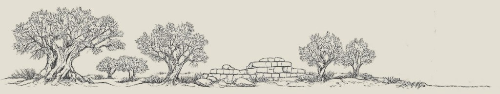
Area Y1, located among the olive groves of Tel Hadid, reveals a fascinating chronological timeline. The earliest discoveries date back to the Iron Age IIb, tentatively the 8th century BCE, featuring a large pit filled with ancient pottery, ash, and burnt olive pits. Built above this is a stone wall, likely constructed much later for large-scale agricultural land preparation on the site’s natural south-north slope. The topmost layers reflect more recent topography modifications, ranging from the Ottoman village of el-Haditha to the modern era.